Fill in the Blanks
1. Scale is the ratio between the distance of two places on a map and the distance of these two places on the ground.
2. A thematic map is based on some theme or specific information.
3. A plan is always drawn to scale and shows accurate dimensions.
4. The four main directions are called cardinal directions.
5. Symbols represent features that cannot be drawn on a map.
Match the Columns
1. Model of the Earth → Globe (e)
2. South → Cardinal direction (d)
3. Magnetic compass → North-south direction (a)
4. Rough drawing → Sketch (b)
5. Signs or characters → Symbols (c)
Very Short Answer Questions (20–30 Words)
1. List the types of maps.
Answer: Physical maps
Political maps
Thematic maps
2. What are the components of a map?
Answer: (i) Title
(ii) Scale
(iii) Compass (directions)
(iv) Symbols
3. Symbols help read maps. Explain how.
Answer: Symbols represent real-life objects and features like roads, buildings, or rivers. They simplify complex information for easy understanding.
4. What is a sketch?
Answer: A sketch is a rough, freehand drawing of a place or object that is not drawn to scale.
5. What is a plan?
Answer: A plan is a detailed map drawn to scale, showing small areas like a house or garden accurately.
Short Answer Type Questions (50–60 Words)
1. Briefly explain the physical map.
Answer: A physical map shows natural features of the Earth like mountains, rivers, plains, and plateaus. It helps in understanding the terrain and geography of a region.
2. What is a scale? Classify maps based on scales.
Answer: A scale is the ratio between the distance on the map and the actual distance on the ground.
Large-scale maps: Show small areas in detail.
Small-scale maps: Show large areas with less detail.
3. What are cardinal directions and intermediate directions? Explain.
Answer: Cardinal directions: North, South, East, and West.
Intermediate directions: Northeast, Southeast, Northwest, and Southwest.
4. A compass helps to find out the main directions. Explain.
Answer: A compass is a navigational tool with a magnetic needle pointing toward the north. It helps in determining directions like North, South, East, and West.
5. Explain the advantages of maps over the globe.
Answer: Maps are portable and easy to carry.
They provide detailed information about specific regions.
Maps can represent themes like climate, population, or roads.
Long Answer Type Questions (80–100 Words)
1. Explain three types of maps in detail.
Answer: Physical maps: Depict natural features like mountains, rivers, and plains.
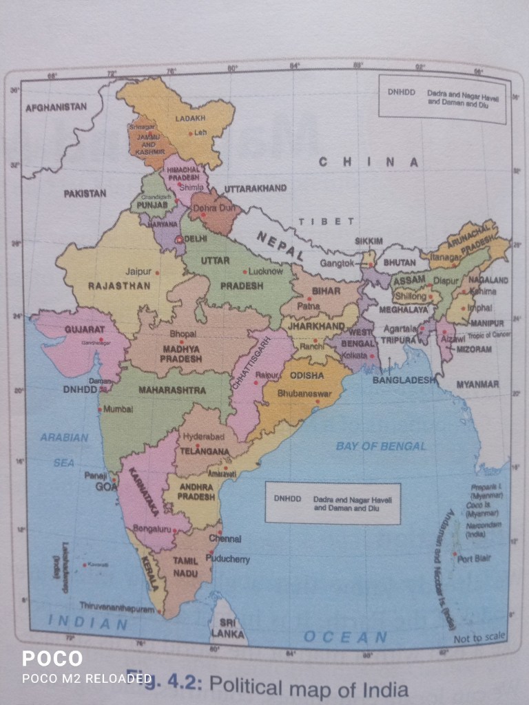
Political maps: Show boundaries of countries, states, and cities.
Thematic maps: Focus on specific themes like climate, population, or resources.
2. Discuss the components of a map in detail.
Answer: Title: Indicates the purpose of the map.
Scale: Represents the ratio of map distance to real-world distance.
Compass: Shows directions.
Symbols: Represent features like roads and landmarks.
3. What do you understand by directions?
Answer: Directions are guidelines to determine the position of one place from another. The four cardinal directions (North, South, East, and West) and intermediate directions (e.g., Northeast) help in navigation.
4. What are symbols? How do they help to read maps?
Answer: Symbols are graphical representations of real-world features. They simplify complex geographical information, making it easier to understand features like rivers, roads, or buildings.
5. Differentiate between a sketch and a plan.
Answer: Sketch: A rough drawing not to scale, showing an area or object.
Plan: A detailed, scaled map showing small areas accurately.
